In todays fast-paced digital environment precision and efficiency are essential in sectors such as construction engineering archaeology and even heritage conservation. One technology making significant strides in these fields is 3d laser scanning. Though once seen as futuristic it is now a critical tool for capturing real-world data and converting it into highly accurate digital models.
Understanding the Basics
3d laser scanning is a non-contact non-destructive method of capturing the exact size and shape of a physical object using laser technology. It works by projecting a laser beam onto a surface and measuring the time it takes for the light to return to the scanner. These measurements are known as ‘time-of-flight’ data. Modern scanners can gather millions of these data points in seconds resulting in what is called a ‘point cloud’ and a collection of spatial coordinates that form a digital representation of the object or area.
Unlike traditional measurement techniques that rely on tape measures levels or total stations laser scanning captures complete data sets without the need for guesswork or extrapolation. This makes it particularly useful in capturing complex or inaccessible geometries such as industrial facilities heritage buildings or active construction sites.
Key Components & Types of Scanners
At the core of the technology are three essential components: the laser emitter the sensor and the software. The emitter projects the laser beam the sensor detects the light that bounces back and the software processes the data into usable formats such as 3d models or technical drawings.
There are various types of laser scanners each suited to different applications. Terrestrial laser scanners are used for ground-based measurements and are ideal for buildings landscapes and large equipment. Handheld or portable scanners provide mobility and are often used in manufacturing or medical fields. Aerial laser scanners also known as Lidar (Light Detection and Ranging) are mounted on drones aircraft or helicopters to map large geographical areas.
The Workflow: From Scanning to Deliverables
A standard scanning workflow typically begins with site planning. Technicians assess the location to determine the optimal number and position of scans required for complete coverage. Once scanning begins each scanner setup captures the area in 360 degrees ensuring that no detail is missed.
After the scanning phase the raw point cloud data is transferred to processing software. Here noise or unwanted data points are filtered out and scans from different positions are aligned or “registered” into a single unified dataset. From this point the data can be used to create 3D models 2D plans fly-through animations or even augmented reality (AR) overlays.
The final output depends on the projects purpose. Architects may use the data to remodel existing structures engineers might analyse it for quality assurance and archaeologists can document excavation sites in meticulous detail.
Benefits Across Industries
One of the greatest advantages of 3d scanning is its accuracy. It reduces human error and captures complete data sets often within a fraction of the time needed for manual measurements. This makes it a cost-effective and efficient solution particularly for complex or time-sensitive projects.
In construction and civil engineering it aids in clash detection site verification and progress tracking. In the oil and gas industry it supports maintenance planning by creating exact digital twins of industrial plants. Surveyors use it for topographic and volumetric assessments while cultural institutions apply it to preserve fragile artefacts and sites for future generations.
Another compelling benefit is safety. Laser scanners can access hazardous or confined spaces without putting personnel at risk. In environments such as mines refineries or disaster sites the ability to scan from a distance is invaluable.
Limitations & Considerations
Though powerful 3d scanning is not without limitations. Reflective transparent or highly absorbent surfaces can pose challenges by distorting or absorbing the laser signal. Weather conditions such as heavy rain or dust can also affect accuracy. That is why experienced operators and proper planning are crucial to successful outcomes.
Data management is another consideration. Because scans generate large files they require substantial computing power and storage. Secure cloud-based platforms are increasingly used to store and share data among stakeholders in real-time.
The Future of Digital Measurement
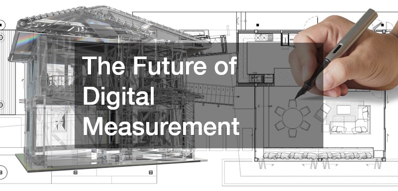
As technologies continue to evolve so too does the potential of 3d laser scanning. Integration with Building Information Modelling (BIM) Geographic Information Systems (GIS) and AR/VR platforms is opening new frontiers in digital design and asset management. Artificial intelligence is also being used to automate scan analysis detect anomalies and optimise workflows.
In summary 3d laser scanning is a transformative technology that enables unparalleled precision safety and efficiency across a wide range of industries. As accessibility increases and costs decrease its adoption is only set to grow shaping how we capture and interact with the built and natural environment.
.

